
Settlement System
Utilization of non-food resources
Provisioning the city
Environmental conditions
Key area A studies the settlement system, the recognition of patterns, the distribution of economic functions, and demographic developments.
Key area B addresses the utilization of non-food resources, e.g., wood, processing of ores, and the production of building ceramics.
Key area C studies the processes involved in provisioning the city with foodstuffs (meat, dairy, cultivated crops).
Key area D aims at reconstructing the environmental conditions through time.
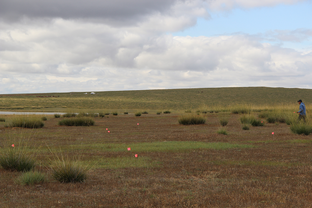
Key area A focuses on the study of the settlement system, the recognition of patterns, the distribution of economic functions, and demographic developments, which are all severely understudied issues. Demographic reconstructions have not yet been proposed, except for broad estimates of the population of Karakorum (Reichert 2020) (SP 2 Reichert, SP 6 Toso). The combination of pedestrian surveys and targeted excavations in potential areas after magnetic and remote sensing surveys enable a structured and well-informed strategy to investigate the patterns and distribution of economic practices (SP 1 Bemmann, SP 2 Reichert, SP 3 Lang, SP 4 Linzen, SP 6 Toso, SP 7 Peters). The combined use of magnetics (SP 4 Linzen) and airborne multispectral photography (SP 3 Lang) in our research unit will critically advance the potential of both methods previously applied separately, particularly when validated with geochemical and palynological proxy analyses for human presence on the ground (SP 5 Amelung/Mörchen, SP 8 Litt). Together with the contiguous, intensive pedestrian surveys, this combined approach will further improve our understanding of the investigated sites and of the settlement patterns.
Key area B addresses the utilization of non-food resources, e.g., wood, processing of ores, and the production of building ceramics. We understand the craft production sector in the middle of Karakorum with its numerous workshops comparatively well (SP 2 Reichert, SP 3 Lang, SP 4 Linzen). These efforts serve as a data pool to extrapolate the scale of fuel needed for these endeavours. The extraordinary number of workshops and kilns with their fuel requirements raises new questions: to what extent was wood needed as a fuel and what effect did this have on the surrounding landscape or did dung play a role as well? Soil science and palaeontology studies that show these effects remain a desideratum we want to meet through our combined efforts. Siberian larch, the locally dominant tree species, served as a building material and is so far the only proven fuel. Animal dung is a widely available resource within the pastoral environment and might have been used as fuel for all pyrotechnical applications. Analyses by SP 5 (Amelung/Mörchen) together with expertise from SP 7 (Peters) will evaluate the existence and scale of this practice at our targeted sites.
Another desideratum we need to remedy is the lack of iron smelting sites for the Mongol era (SP 1 Bemmann, SP 3 Lang, SP 4 Linzen). We do not know a single site in the whole of Mongolia, albeit having ample evidence of iron smelting furnaces for example for the Xiongnu period and the abundance of iron remains in Karakorum. Settlements and production sites within the surroundings of Karakorum yielded several kilns for the firing of building ceramics, all of which are not yet fully published and have not yet been incorporated into the wider question of how urbanism worked within the Mongolian steppes. The diachronic analyses of local environmental archives (SP 5 Amelung, SP 8 Litt) aim to detect changes in the available biomass (e.g., forests), periods of rapid changes (possible massive logging) and the intrusion of particles from anthropogenic fire activities.
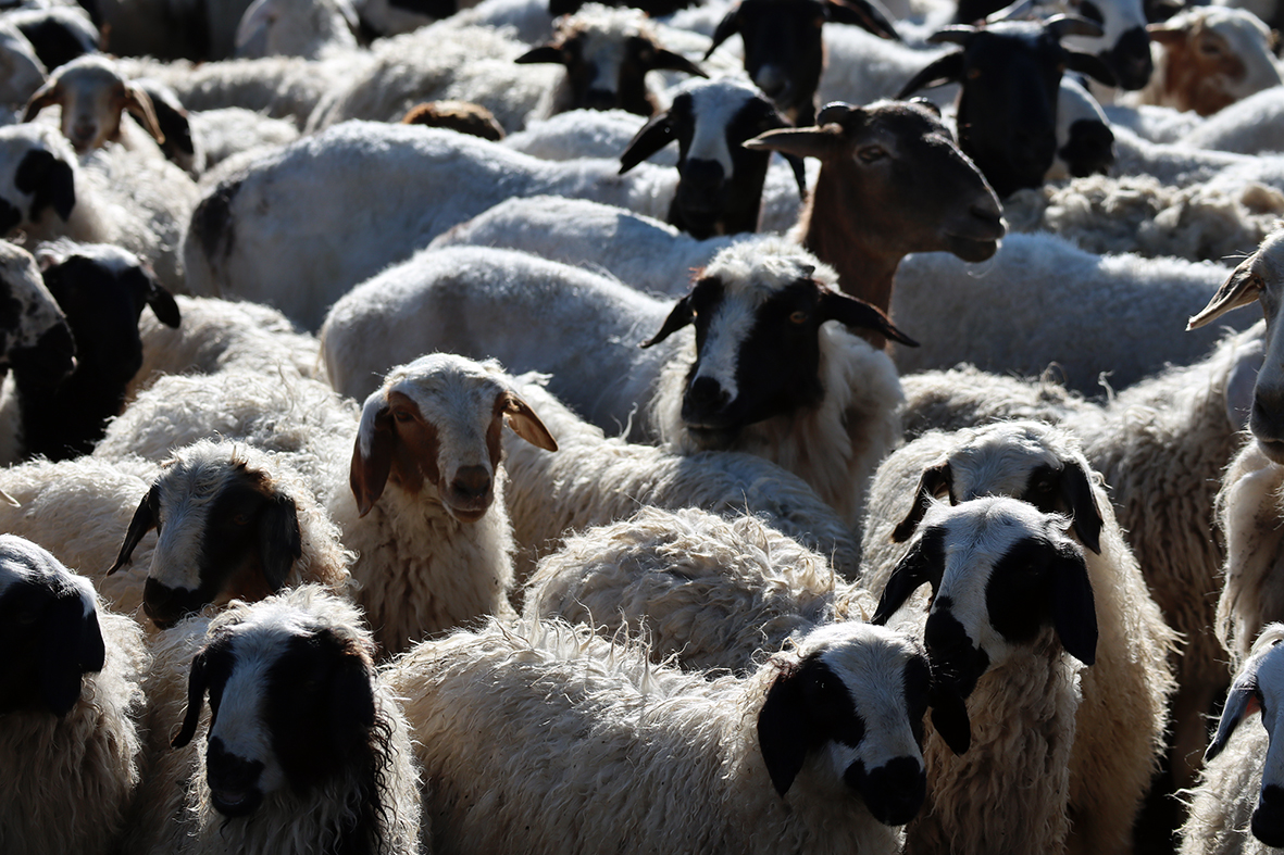
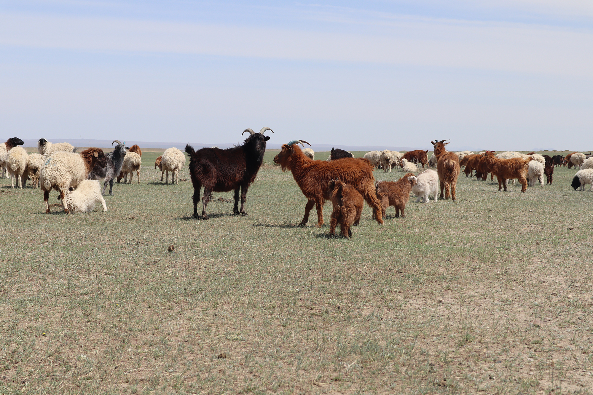
The objective of our endeavours bundled in the third key area, C, is to produce a reliable picture of the processes involved in provisioning the city with foodstuffs, mainly meat, dairy and cultivated crops and what imprint this left on the environment. It is unclear how animal husbandry was organized during the Mongol period, from which catchment area the livestock originated (SP 7 Peters), and to what extent agriculture with or without irrigation was practiced in the surrounding area (SP 1 Bemmann, SP 2 Reichert, SP 3 Lang, SP 4 Linzen, SP 5 Amelung/Mörchen, SP 8 Litt), and who benefited from it. A comprehensive systematic and diachronic research of the pastoral economy based on archaeozoological studies is missing (SP 7 Peters). Preliminary faunal analyses of Karakorum suggest that small caprines were the main source of meat and fat, with cattle being second. Studies on botanical remains from Karakorum as well as a close reading of available written sources point to local farming activities but they do not provide a reliable picture yet. Another avenue to this issue is the use of human feces as manure on agricultural fields. However, nothing is known about the methods of accumulation (e.g., use of latrines) nor about the management of human excreta in our study area.
If this so-called night soil was also applied to nearby agricultural fields of big cities like Karakorum still needs to be proved (SP 5 Amelung/Mörchen, SP 7 Peters). Bioarchaeological analyses of human skeletal remains indicate that the population in Central Mongolia engaged in a pastoral economy and fed mainly on animal proteins with an intake of cereals during the Xiongnu and Mongol Empire periods. However, data from our research areas is scant and we lack knowledge of the Mongol era population. So far, geochemical analysis of cooking pots, which offers insights into the variety of consumed lipids, has not been applied for dietary reconstructions (SP 6 Toso). Our proposal is to tackle these desiderata with a wide array of different sources and disciplines (archaeozoology, bioarchaeology, soil science, palaeontology). None of the proposed disciplines and analyses can provide the whole picture in and by themselves, as each source of evidence is affected differently by taphonomic processes.
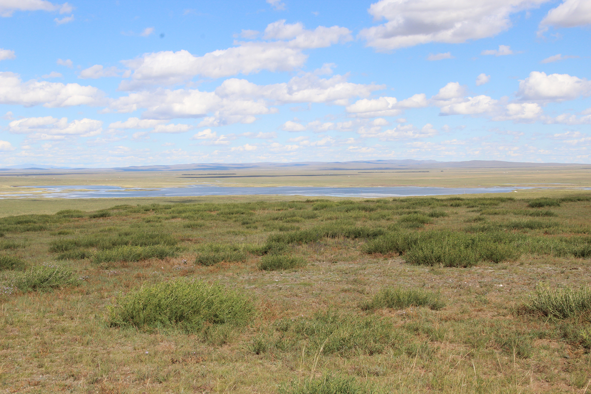
Key area D will reconstruct the environmental conditions through time (SP 5 Amelung/Mörchen, SP 6 Toso, SP 7 Peters, SP 8 Litt). Although there are isolated studies on lake sediments or soil profiles from the Orkhon Valley, these studies are not linked to archaeological research. The low resolution of the available data does not support detailed diachronic studies as envisaged for our project either. The research group will for the first time create a comprehensive environmental reconstruction for the Orkhon valleyin unprecedented fine resolution. This will be achieved through the access to different environmental archives, which, through their combination, will provide a concise view of the palaeo-conditions. In addition, palaeoecological proxy data will be used to reconstruct palaeoclimatological parameters, such as temperature and precipitation based on botanical-climatological transfer functions (SP 8 Litt). These reconstructions will provide the necessary foundation of key areas A to C.
back to top